USGS
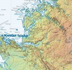
Detail of map of Kimberley
A land elevation scheme used by the U.S. Geological Survey with modified variants by Dr. Richard L. Langford for the Geological Survey of Western Australia.
When SRTM data became widely available, Dr. Langford took the opportunity to produce good topographic maps for the whole of Western Australia for which the USGS hypsometric scheme looked an attractive option: he contacted them to get the exact RGB colours, but after plotting the colours in a spreadsheet, modified them to smooth out the colour curves. His work was acknowledged and used in published maps of Major Resource Projects (e.g. Cooper, R. W., and Flint, D. J., 2007, Major Resource Projects, Western Australia — 2007 (scale 1:3,000,000): Western Australia Department of Industry and Resources).
The orignal scheme is usgs-feet, as seen in
various maps
produced by the USGS, Dr. Langford's smoothed versions have the
-gswa suffix.


Licence is creative commons attribution-noncommercial 3.0 unported: see details and XML record.