Software Questions
How will I receive the data?
You can monitor and download the data on our data viewer via the internet.
Files with directional spectra (these cannot be downloaded directly from the data viewer) and/or specific parameters can be delivered automatically to you via FTP.
Can the data be used for forecasting?
The software cannot strictly be used for forecasting. However, the long term historical data can be utilised for prediction purposes.
The data can also be assimiliated into predictive models to improve forecasts.
Is the software affected by offshore rigs and wind farms?
Fixed offshore rigs do not affect the data.
Offshore wind farms do make it difficult to measure waves close to the turbine locations when they are in operation. Current measurement does not appear to be affected. We are investigating methods to remove the wind turbine signals to enable wave measurement within the farms.
How much does the Seaview Realtime software cost?
It really depends on the particular project but as a guide the software usually costs a tenth of the cost of the radar.
What is the difference between Seaview Software wave measurements and those provided as part of the standard WERA system?
Our software measures the full ocean wave directional spectrum and derives parameters such as signficant waveheight, peak period and direction using standard oceanographic methods.
The standard WERA wave measurement is an empirical-fitting method providing an estimate of the frequency spectrum (from which waveheight and period can be obtained) and mean direction at each frequency.
In our experience wave spectra are often complicated with local wind seas with different fetch and development times combined with different swell components. The ocean wave directional spectrum is the only measurement that can resolve these features.
What are the benefits of using Seaview Realtime instead of wave buoys, current meters or other in situ instrumentation?
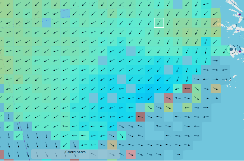
Seaview Realtime software provides spatial wave, current and wind information that would require the deployment of multiple in situ instruments such as wave buoys or ADCPS.
Seaview metocean data can complement in situ sensor information e.g. by providing the surface spatial picture with ADCPS (for example) providing information through the water column.
Generally, wave buoys do not measure surface current or wind, whereas Seaview Realtime provides this information simultaneously with the wave measurements.
HF radar with Seaview Software possibly has a higher set-up cost but the maintenance costs are significantly lower over the long term.

